![]()
Page History
...
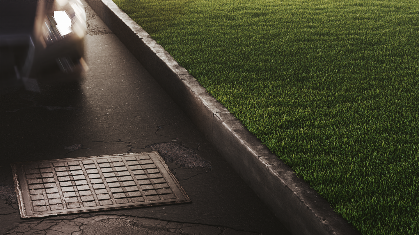
Turning on the Edge Trimming function deletes all grass strands that are outside of the Target Object, creating a clean line, imitating that the grass has been professionally cut.
| Alignsection | ||||||||||||||||
|---|---|---|---|---|---|---|---|---|---|---|---|---|---|---|---|---|
| center | |||||||||||||||
| ||||||||||||||||
|

Slope Limitation
...
| Section | ||||||||||||||||||||
|---|---|---|---|---|---|---|---|---|---|---|---|---|---|---|---|---|---|---|---|---|
|

...
The Local and World Slope Limitations determine the up-vector. The Local option uses the normals of the Target object; the World option uses the Y-axis of the scene. In this example, the Min/Max Angle is set to 0.0°-45.0°.
| Alignsection | ||||||||||||||||
|---|---|---|---|---|---|---|---|---|---|---|---|---|---|---|---|---|
| center | |||||||||||||||
| ||||||||||||||||
|


...
| Anchor | ||||
|---|---|---|---|---|
|
Example: Min/Max Angle
...
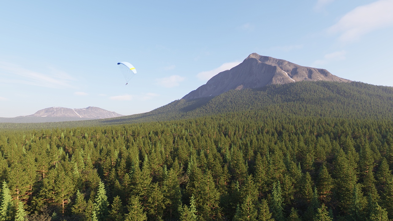
Setting the Max Altitude to 5000.000 cm (500m) limits the scattered trees to that height.
| Alignsection | |||||||||||||||||||
|---|---|---|---|---|---|---|---|---|---|---|---|---|---|---|---|---|---|---|---|
| center |
|

Falloff Curve
...
| Section | ||||||||||||||||
|---|---|---|---|---|---|---|---|---|---|---|---|---|---|---|---|---|
Image_comparison_slider | | |||||||||||||||
| AddButtons | false | |||||||||||||||
| LabelBefore | off | |||||||||||||||
| width | 60% | |||||||||||||||
| LabelAfter | max altitude 50000 | |||||||||||||||
| AttachmentImageBefore | 01_Altitude_Off_1280x720.jpg | |||||||||||||||
| AttachmentImageAfter | 02_Altitude_0-500m_1280x720.jpg | height | 60%

| Progress Bar Container | ||||||||||||||||||||||||||||||||||||||||
|---|---|---|---|---|---|---|---|---|---|---|---|---|---|---|---|---|---|---|---|---|---|---|---|---|---|---|---|---|---|---|---|---|---|---|---|---|---|---|---|---|
| ||||||||||||||||||||||||||||||||||||||||
|